
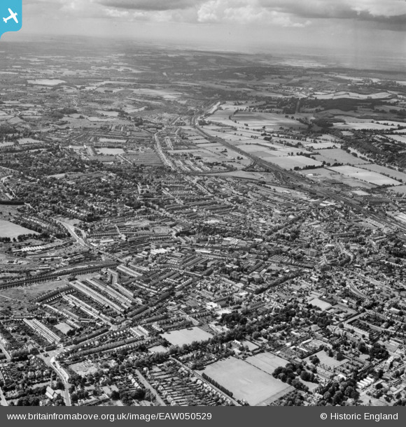
EAW050529 ENGLAND (1953). The town, Reading, from the south-east, 1953
© Copyright OpenStreetMap contributors and licensed by the OpenStreetMap Foundation. 2026. Cartography is licensed as CC BY-SA.
Nearby Images (2)
EAW050529

EPW000878

Details
| Title | [EAW050529] The town, Reading, from the south-east, 1953 |
| Reference | EAW050529 |
| Date | 9-July-1953 |
| Link | |
| Place name | READING |
| Parish | |
| District | |
| Country | ENGLAND |
| Easting / Northing | 471951, 172617 |
| Longitude / Latitude | -0.96451018526859, 51.447474547459 |
| National Grid Reference | SU720726 |
Pins

Edward Hammond |
Thursday 17th of June 2021 02:53:05 PM | |
|
Alison de T |
Thursday 23rd of January 2020 11:57:51 AM | |
|
gBr |
Sunday 27th of September 2015 06:49:28 PM | |
|
gBr |
Sunday 27th of September 2015 06:48:27 PM | |
|
gBr |
Sunday 27th of September 2015 06:47:21 PM | |
|
gBr |
Sunday 27th of September 2015 06:45:58 PM | |
|
gBr |
Sunday 27th of September 2015 06:44:51 PM | |
|
gBr |
Sunday 27th of September 2015 06:42:41 PM | |
|
Drylands |
Saturday 15th of August 2015 06:19:44 PM | |
|
Drylands |
Saturday 15th of August 2015 06:19:09 PM | |
|
Drylands |
Saturday 15th of August 2015 06:18:30 PM |