
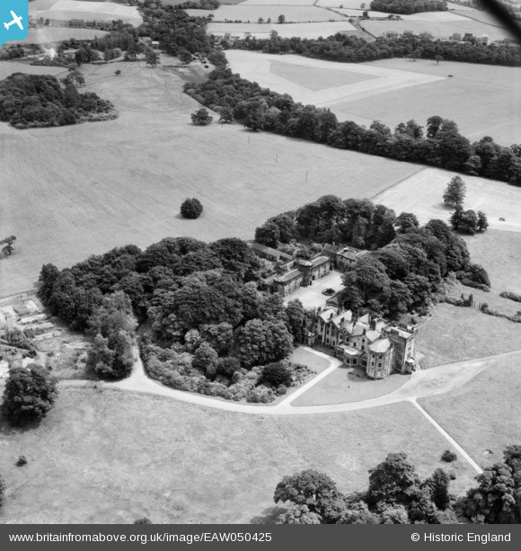
EAW050425 ENGLAND (1953). Winstanley Hall, Winstanley, 1953
© Copyright OpenStreetMap contributors and licensed by the OpenStreetMap Foundation. 2025. Cartography is licensed as CC BY-SA.
Nearby Images (4)
EAW050425

EAW050423

EAW050424

EAW050426

Details
| Title | [EAW050425] Winstanley Hall, Winstanley, 1953 |
| Reference | EAW050425 |
| Date | 7-July-1953 |
| Link | |
| Place name | WINSTANLEY |
| Parish | |
| District | |
| Country | ENGLAND |
| Easting / Northing | 354520, 403155 |
| Longitude / Latitude | -2.6860764090675, 53.522845389627 |
| National Grid Reference | SD545032 |
Pins
Be the first to add a comment to this image!