
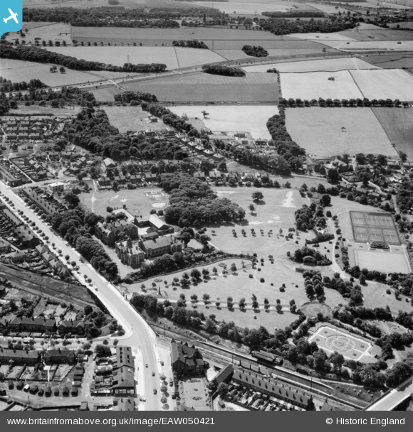
EAW050421 ENGLAND (1953). Parr Fold Park, Walkden, 1953
© Copyright OpenStreetMap contributors and licensed by the OpenStreetMap Foundation. 2026. Cartography is licensed as CC BY-SA.
Nearby Images (3)
EAW050421

EAW050420

EAW050422

Details
| Title | [EAW050421] Parr Fold Park, Walkden, 1953 |
| Reference | EAW050421 |
| Date | 7-July-1953 |
| Link | |
| Place name | WALKDEN |
| Parish | |
| District | |
| Country | ENGLAND |
| Easting / Northing | 373717, 402250 |
| Longitude / Latitude | -2.3964196318436, 53.516021064359 |
| National Grid Reference | SD737023 |
Pins

FrankH |
Wednesday 28th of October 2020 10:07:55 PM |