
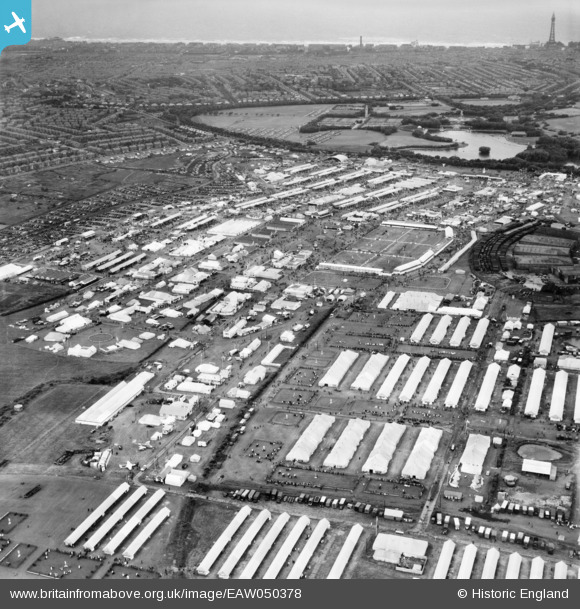
EAW050378 ENGLAND (1953). Blackpool, The Royal Agricultural Society of England Show, from the east, 1953
© Copyright OpenStreetMap contributors and licensed by the OpenStreetMap Foundation. 2026. Cartography is licensed as CC BY-SA.
Nearby Images (3)
EAW050378

EAW050387

EAW050381

Details
| Title | [EAW050378] Blackpool, The Royal Agricultural Society of England Show, from the east, 1953 |
| Reference | EAW050378 |
| Date | 7-July-1953 |
| Link | |
| Place name | BLACKPOOL |
| Parish | |
| District | |
| Country | ENGLAND |
| Easting / Northing | 334047, 435798 |
| Longitude / Latitude | -3.0018085855781, 53.814064866553 |
| National Grid Reference | SD340358 |
Pins

Matt Aldred edob.mattaldred.com |
Saturday 15th of May 2021 05:27:56 PM | |
|
Matt Aldred edob.mattaldred.com |
Saturday 15th of May 2021 05:23:11 PM | |
|
Matt Aldred edob.mattaldred.com |
Saturday 15th of May 2021 05:19:02 PM |