
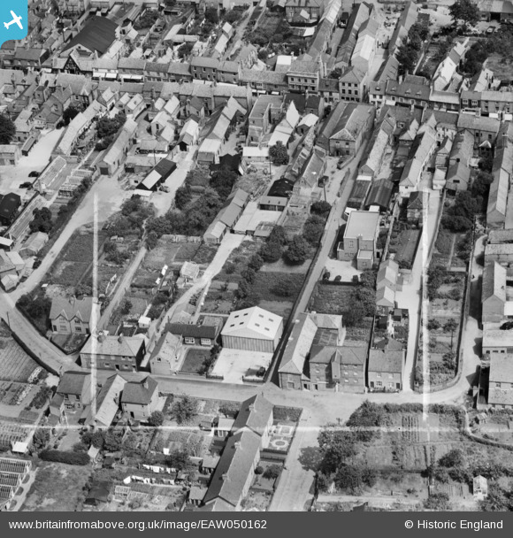
EAW050162 ENGLAND (1953). Wherry's Lane and environs, Bourne, 1953. This image was marked by Aerofilms Ltd for photo editing.
© Copyright OpenStreetMap contributors and licensed by the OpenStreetMap Foundation. 2026. Cartography is licensed as CC BY-SA.
Nearby Images (8)
EAW050162

EAW050154

EAW050163

EAW050160

EAW050161

EAW050153

EAW050155

EAW050158

Details
| Title | [EAW050162] Wherry's Lane and environs, Bourne, 1953. This image was marked by Aerofilms Ltd for photo editing. |
| Reference | EAW050162 |
| Date | 26-July-1953 |
| Link | |
| Place name | BOURNE |
| Parish | BOURNE |
| District | |
| Country | ENGLAND |
| Easting / Northing | 509495, 320292 |
| Longitude / Latitude | -0.37687678192007, 52.768773055082 |
| National Grid Reference | TF095203 |
Pins
Be the first to add a comment to this image!