
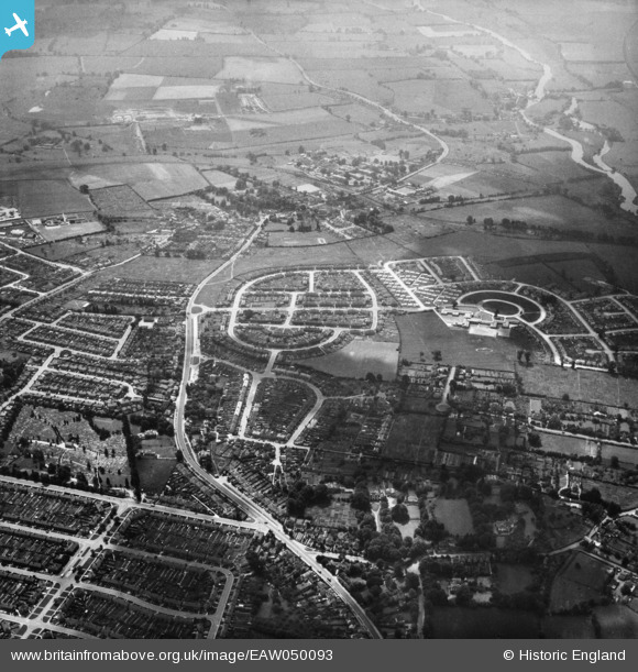
EAW050093 ENGLAND (1953). Rose Hill and environs, Rose Hill, 1953
© Copyright OpenStreetMap contributors and licensed by the OpenStreetMap Foundation. 2026. Cartography is licensed as CC BY-SA.
Nearby Images (3)
EAW050093

EPW047782

EAW003944

Details
| Title | [EAW050093] Rose Hill and environs, Rose Hill, 1953 |
| Reference | EAW050093 |
| Date | 26-June-1953 |
| Link | |
| Place name | ROSE HILL |
| Parish | |
| District | |
| Country | ENGLAND |
| Easting / Northing | 453430, 203395 |
| Longitude / Latitude | -1.2263401528426, 51.726267650902 |
| National Grid Reference | SP534034 |
Pins
Be the first to add a comment to this image!