
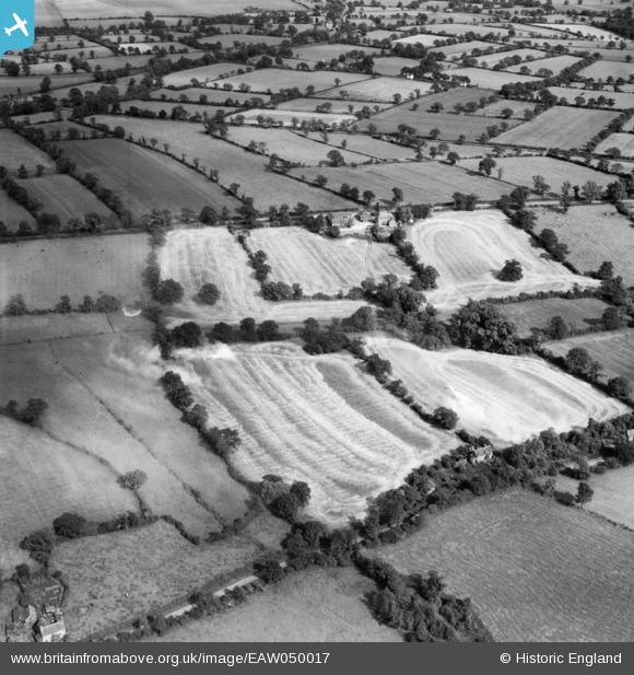
EAW050017 ENGLAND (1953). Crop dusting underway in fields surrounding Waring's Green Farm, Terry's Green, 1953
© Copyright OpenStreetMap contributors and licensed by the OpenStreetMap Foundation. 2025. Cartography is licensed as CC BY-SA.
Nearby Images (3)
EAW050017

EAW050016

EAW050018

Details
| Title | [EAW050017] Crop dusting underway in fields surrounding Waring's Green Farm, Terry's Green, 1953 |
| Reference | EAW050017 |
| Date | 18-June-1953 |
| Link | |
| Place name | TERRY'S GREEN |
| Parish | TANWORTH-IN-ARDEN |
| District | |
| Country | ENGLAND |
| Easting / Northing | 412570, 273990 |
| Longitude / Latitude | -1.815382255124, 52.363437004886 |
| National Grid Reference | SP126740 |
Pins
Be the first to add a comment to this image!