
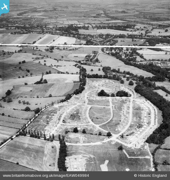
EAW049984 ENGLAND (1953). The residential area at Kettlethorpe under construction, Wakefield, 1953. This image was marked by Aerofilms Ltd for photo editing.
© Copyright OpenStreetMap contributors and licensed by the OpenStreetMap Foundation. 2026. Cartography is licensed as CC BY-SA.
Nearby Images (7)
EAW049984

EAW049988

EAW049987

EAW049986

EAW049985

EAW049981

EAW049982

Details
| Title | [EAW049984] The residential area at Kettlethorpe under construction, Wakefield, 1953. This image was marked by Aerofilms Ltd for photo editing. |
| Reference | EAW049984 |
| Date | 18-June-1953 |
| Link | |
| Place name | WAKEFIELD |
| Parish | |
| District | |
| Country | ENGLAND |
| Easting / Northing | 433076, 416721 |
| Longitude / Latitude | -1.499593240474, 53.645717261894 |
| National Grid Reference | SE331167 |
Pins

sirdouglas |
Saturday 20th of August 2016 09:55:24 PM |