
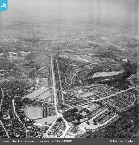
EAW049881 ENGLAND (1953). The Priory and Wren's Nest Estates, Dudley, from the south-east, 1953
© Copyright OpenStreetMap contributors and licensed by the OpenStreetMap Foundation. 2026. Cartography is licensed as CC BY-SA.
Nearby Images (2)
EAW049881

EAW049886

Details
| Title | [EAW049881] The Priory and Wren's Nest Estates, Dudley, from the south-east, 1953 |
| Reference | EAW049881 |
| Date | 11-June-1953 |
| Link | |
| Place name | DUDLEY |
| Parish | |
| District | |
| Country | ENGLAND |
| Easting / Northing | 394115, 291031 |
| Longitude / Latitude | -2.0867345397707, 52.516766212834 |
| National Grid Reference | SO941910 |
