
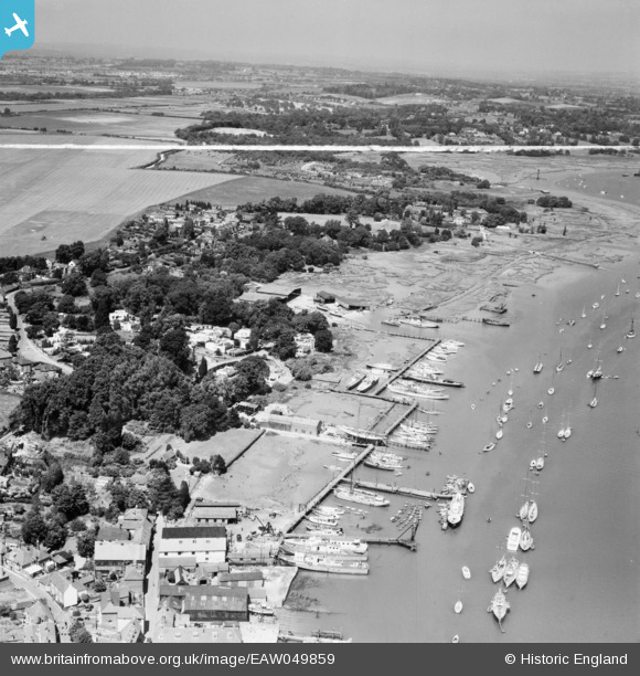
EAW049859 ENGLAND (1953). The waterfront, Hamble-le-Rice, from the south-east, 1953. This image was marked by Aerofilms Ltd for photo editing.
© Copyright OpenStreetMap contributors and licensed by the OpenStreetMap Foundation. 2026. Cartography is licensed as CC BY-SA.
Nearby Images (10)
EAW049859

EAW049867

EAW049861

EAW049868

EAW049866

EAW049858

EAW049857

EAW049862

EAW049872

EAW049865

Details
| Title | [EAW049859] The waterfront, Hamble-le-Rice, from the south-east, 1953. This image was marked by Aerofilms Ltd for photo editing. |
| Reference | EAW049859 |
| Date | 9-July-1953 |
| Link | |
| Place name | HAMBLE-LE-RICE |
| Parish | HAMBLE-LE-RICE |
| District | |
| Country | ENGLAND |
| Easting / Northing | 448469, 106960 |
| Longitude / Latitude | -1.3112667844135, 50.859559361979 |
| National Grid Reference | SU485070 |
