
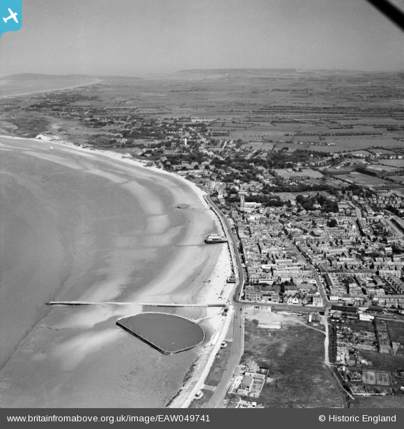
EAW049741 ENGLAND (1953). The town, Burnham-on-Sea, from the south, 1953
© Copyright OpenStreetMap contributors and licensed by the OpenStreetMap Foundation. 2026. Cartography is licensed as CC BY-SA.
Nearby Images (5)
EAW049741

EPW039927

EPW027966

EAW049742

EPW039926

Details
| Title | [EAW049741] The town, Burnham-on-Sea, from the south, 1953 |
| Reference | EAW049741 |
| Date | 28-May-1953 |
| Link | |
| Place name | BURNHAM-ON-SEA |
| Parish | BURNHAM-ON-SEA AND HIGHBRIDGE |
| District | |
| Country | ENGLAND |
| Easting / Northing | 330272, 148921 |
| Longitude / Latitude | -2.9988604328787, 51.234693038577 |
| National Grid Reference | ST303489 |
Pins

MWills |
Monday 29th of February 2016 08:02:24 PM |