
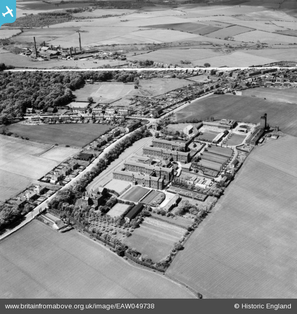
EAW049738 ENGLAND (1953). Upholland Road and Billinge Hospital, Orrell, 1953. This image was marked by Aerofilms Ltd for photo editing.
© Copyright OpenStreetMap contributors and licensed by the OpenStreetMap Foundation. 2026. Cartography is licensed as CC BY-SA.
Nearby Images (9)
EAW049738

EAW049733

EAW049734

EAW049740

EAW049735

EAW049739

EAW049736

EAW049737

EAW049732

Details
| Title | [EAW049738] Upholland Road and Billinge Hospital, Orrell, 1953. This image was marked by Aerofilms Ltd for photo editing. |
| Reference | EAW049738 |
| Date | 24-May-1953 |
| Link | |
| Place name | ORRELL |
| Parish | |
| District | |
| Country | ENGLAND |
| Easting / Northing | 352862, 402691 |
| Longitude / Latitude | -2.7110158073763, 53.518528496423 |
| National Grid Reference | SD529027 |
Pins
Be the first to add a comment to this image!