
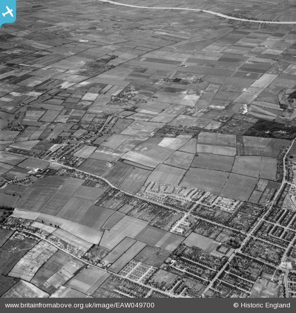
EAW049700 ENGLAND (1953). Messingham Road and the site for the Riddings Estate, Scunthorpe, 1953
© Copyright OpenStreetMap contributors and licensed by the OpenStreetMap Foundation. 2026. Cartography is licensed as CC BY-SA.
Nearby Images (5)
EAW049700

EAW049707

EAW049698

EAW049701

EAW049702

Details
| Title | [EAW049700] Messingham Road and the site for the Riddings Estate, Scunthorpe, 1953 |
| Reference | EAW049700 |
| Date | 24-May-1953 |
| Link | |
| Place name | SCUNTHORPE |
| Parish | BOTTESFORD |
| District | |
| Country | ENGLAND |
| Easting / Northing | 488493, 407558 |
| Longitude / Latitude | -0.66396350424015, 53.556932321141 |
| National Grid Reference | SE885076 |
