
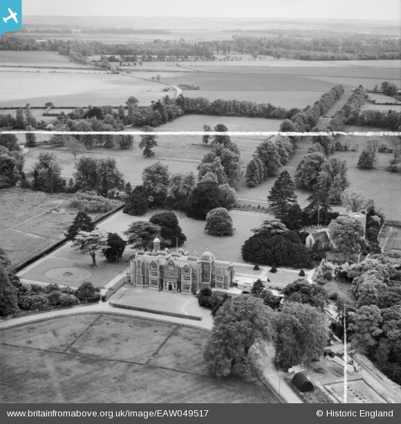
EAW049517 ENGLAND (1953). Babraham Hall (Institute of Animal Physiology) and the surrounding countryside, Babraham, from the north-east, 1953. This image was marked by Aerofilms Ltd for photo editing.
© Copyright OpenStreetMap contributors and licensed by the OpenStreetMap Foundation. 2025. Cartography is licensed as CC BY-SA.
Nearby Images (12)
EAW049517
 and the surrounding countryside, Babraham, from the north-east, 1953. This image was marked by Aerofilms Ltd for photo editing.")
EAW049519
 and the surrounding countryside, Babraham, from the south-west, 1953. This image was marked by Aerofilms Ltd for photo editing.")
EAW049518
, Babraham, 1953. This image was marked by Aerofilms Ltd for photo editing.")
EAW049520
, Babraham, from the south-west, 1953. This image was marked by Aerofilms Ltd for photo editing.")
EAW049523

EAW049522

EAW049524

EAW049521

EAW049530

EAW049527

EAW049529

EAW049525

Details
| Title | [EAW049517] Babraham Hall (Institute of Animal Physiology) and the surrounding countryside, Babraham, from the north-east, 1953. This image was marked by Aerofilms Ltd for photo editing. |
| Reference | EAW049517 |
| Date | 19-May-1953 |
| Link | |
| Place name | BABRAHAM |
| Parish | BABRAHAM |
| District | |
| Country | ENGLAND |
| Easting / Northing | 551071, 250582 |
| Longitude / Latitude | 0.20744585270521, 52.132450319913 |
| National Grid Reference | TL511506 |
Pins
Be the first to add a comment to this image!