
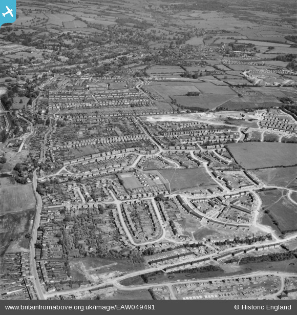
EAW049491 ENGLAND (1953). New housing development at Bennetts End, Hemel Hempstead, 1953
© Copyright OpenStreetMap contributors and licensed by the OpenStreetMap Foundation. 2026. Cartography is licensed as CC BY-SA.
Nearby Images (3)
EAW049491

EAW049493

EAW049490

Details
| Title | [EAW049491] New housing development at Bennetts End, Hemel Hempstead, 1953 |
| Reference | EAW049491 |
| Date | 19-May-1953 |
| Link | |
| Place name | HEMEL HEMPSTEAD |
| Parish | |
| District | |
| Country | ENGLAND |
| Easting / Northing | 506567, 205627 |
| Longitude / Latitude | -0.4564653471122, 51.738748550403 |
| National Grid Reference | TL066056 |
Pins

H.E. |
Tuesday 8th of March 2016 10:17:34 PM | |
|
H.E. |
Tuesday 8th of March 2016 10:15:20 PM | |
|
H.E. |
Tuesday 8th of March 2016 10:10:12 PM | |
|
H.E. |
Tuesday 8th of March 2016 10:07:52 PM | |
|
H.E. |
Tuesday 8th of March 2016 10:05:41 PM | |
|
H.E. |
Tuesday 8th of March 2016 10:03:02 PM | |
|
H.E. |
Tuesday 8th of March 2016 09:59:32 PM | |
|
H.E. |
Tuesday 13th of January 2015 10:41:11 PM | |
|
H.E. |
Tuesday 13th of January 2015 10:39:31 PM | |
|
H.E. |
Tuesday 13th of January 2015 10:38:45 PM | |
|
H.E. |
Tuesday 13th of January 2015 10:37:45 PM | |
|
H.E. |
Tuesday 13th of January 2015 10:36:56 PM | |
|
H.E. |
Tuesday 13th of January 2015 10:36:14 PM | |
|
H.E. |
Tuesday 13th of January 2015 10:34:55 PM | |
|
Walksleader |
Monday 6th of October 2014 04:30:24 PM |