
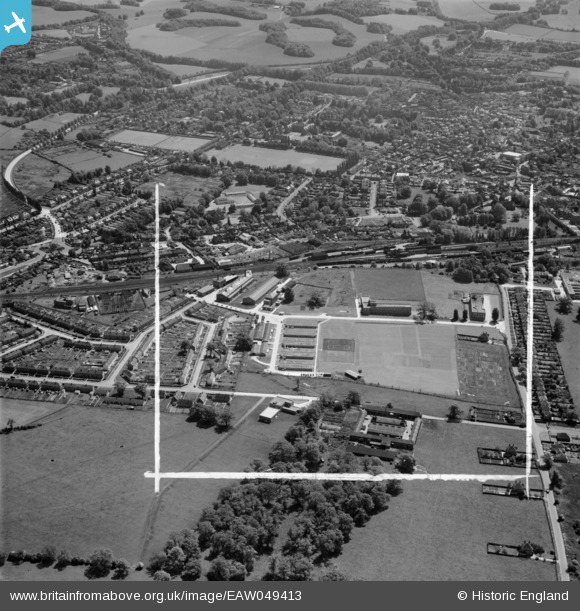
EAW049413 ENGLAND (1953). The British Coal Utilisation Research Association (BCURA) on Randalls Road and environs, Leatherhead, 1953. This image was marked by Aerofilms Ltd for photo editing.
© Copyright OpenStreetMap contributors and licensed by the OpenStreetMap Foundation. 2026. Cartography is licensed as CC BY-SA.
Nearby Images (13)
EAW049413
 on Randalls Road and environs, Leatherhead, 1953. This image was marked by Aerofilms Ltd for photo editing.")
EAW049412
 on Randalls Road and environs, Leatherhead, 1953. This image was marked by Aerofilms Ltd for photo editing.")
EAW049418
 on Randalls Road and environs, Leatherhead, 1953. This image was marked by Aerofilms Ltd for photo editing.")
EAW049411
 on Randalls Road and environs, Leatherhead, 1953. This image was marked by Aerofilms Ltd for photo editing.")
EAW049415
 on Randalls Road and environs, Leatherhead, 1953. This image was marked by Aerofilms Ltd for photo editing.")
EAW049414
 on Randalls Road and environs, Leatherhead, 1953. This image was marked by Aerofilms Ltd for photo editing.")
EAW024014

EAW024017

EAW024013

EAW024016

EAW024012

EPW057009

EAW024015

Details
| Title | [EAW049413] The British Coal Utilisation Research Association (BCURA) on Randalls Road and environs, Leatherhead, 1953. This image was marked by Aerofilms Ltd for photo editing. |
| Reference | EAW049413 |
| Date | 19-May-1953 |
| Link | |
| Place name | LEATHERHEAD |
| Parish | |
| District | |
| Country | ENGLAND |
| Easting / Northing | 516233, 157095 |
| Longitude / Latitude | -0.33253487519421, 51.300590710839 |
| National Grid Reference | TQ162571 |
Pins
Be the first to add a comment to this image!