
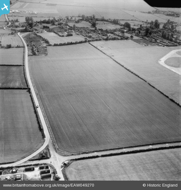
EAW049270 ENGLAND (1953). Farmland near Hampden's Monument, Chalgrove, 1953
© Copyright OpenStreetMap contributors and licensed by the OpenStreetMap Foundation. 2026. Cartography is licensed as CC BY-SA.
Nearby Images (2)
EAW049270

EAW049269

Details
| Title | [EAW049270] Farmland near Hampden's Monument, Chalgrove, 1953 |
| Reference | EAW049270 |
| Date | 12-May-1953 |
| Link | |
| Place name | CHALGROVE |
| Parish | CHALGROVE |
| District | |
| Country | ENGLAND |
| Easting / Northing | 464353, 197117 |
| Longitude / Latitude | -1.069355711477, 51.66867448165 |
| National Grid Reference | SU644971 |
Pins
Be the first to add a comment to this image!