
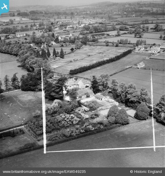
EAW049235 ENGLAND (1953). Burghfields on Cemetery Lane, Bourton-on-the-Water, from the south-east, 1953. This image was marked by Aerofilms Ltd for photo editing.
© Copyright OpenStreetMap contributors and licensed by the OpenStreetMap Foundation. 2026. Cartography is licensed as CC BY-SA.
Nearby Images (8)
EAW049235

EAW049234

EAW049236

EAW049237

EAW049233

EAW049240

EAW049255

EAW049241

Details
| Title | [EAW049235] Burghfields on Cemetery Lane, Bourton-on-the-Water, from the south-east, 1953. This image was marked by Aerofilms Ltd for photo editing. |
| Reference | EAW049235 |
| Date | 12-May-1953 |
| Link | |
| Place name | BOURTON-ON-THE-WATER |
| Parish | BOURTON-ON-THE-WATER |
| District | |
| Country | ENGLAND |
| Easting / Northing | 417291, 220549 |
| Longitude / Latitude | -1.7487613943104, 51.882795476643 |
| National Grid Reference | SP173205 |
Pins
Be the first to add a comment to this image!