
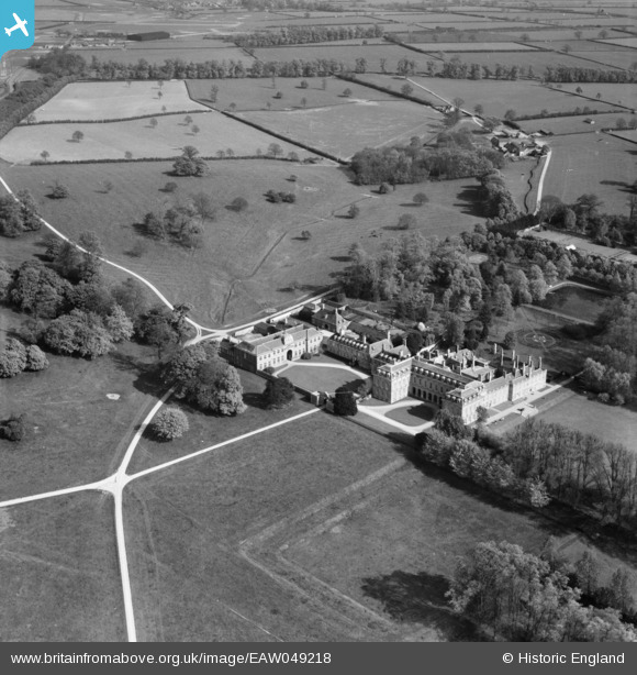
EAW049218 ENGLAND (1953). Boughton House, Boughton Park, 1953
© Copyright OpenStreetMap contributors and licensed by the OpenStreetMap Foundation. 2026. Cartography is licensed as CC BY-SA.
Nearby Images (4)
EAW049218

EAW049217

EAW049215

EAW049216

Details
| Title | [EAW049218] Boughton House, Boughton Park, 1953 |
| Reference | EAW049218 |
| Date | 11-May-1953 |
| Link | |
| Place name | BOUGHTON PARK |
| Parish | WEEKLEY |
| District | |
| Country | ENGLAND |
| Easting / Northing | 490096, 281533 |
| Longitude / Latitude | -0.67490314544166, 52.423976761064 |
| National Grid Reference | SP901815 |
Pins

HBMil |
Thursday 15th of April 2021 05:17:49 PM |