
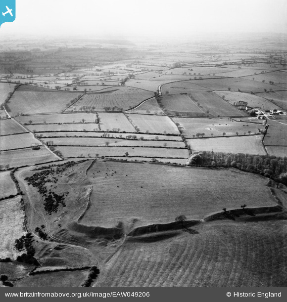
EAW049206 ENGLAND (1953). Burrough Hill Iron Age hill fort and the surrounding countryside, Somerby, from the south-east, 1953
© Copyright OpenStreetMap contributors and licensed by the OpenStreetMap Foundation. 2026. Cartography is licensed as CC BY-SA.
Nearby Images (3)
EAW049206

EAW049208

EAW049207

Details
| Title | [EAW049206] Burrough Hill Iron Age hill fort and the surrounding countryside, Somerby, from the south-east, 1953 |
| Reference | EAW049206 |
| Date | 11-May-1953 |
| Link | |
| Place name | SOMERBY |
| Parish | SOMERBY |
| District | |
| Country | ENGLAND |
| Easting / Northing | 476156, 311905 |
| Longitude / Latitude | -0.87290382030944, 52.699114791896 |
| National Grid Reference | SK762119 |
Pins
Be the first to add a comment to this image!