
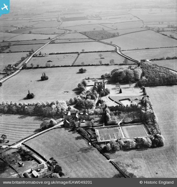
EAW049201 ENGLAND (1953). Scalford Hall and the surrounding countryside, Scalford, 1953
© Copyright OpenStreetMap contributors and licensed by the OpenStreetMap Foundation. 2026. Cartography is licensed as CC BY-SA.
Nearby Images (4)
EAW049201

EAW049199

EAW049200

EAW049198

Details
| Title | [EAW049201] Scalford Hall and the surrounding countryside, Scalford, 1953 |
| Reference | EAW049201 |
| Date | 11-May-1953 |
| Link | |
| Place name | SCALFORD |
| Parish | SCALFORD |
| District | |
| Country | ENGLAND |
| Easting / Northing | 474835, 323167 |
| Longitude / Latitude | -0.88987998884101, 52.800532141329 |
| National Grid Reference | SK748232 |
Pins
Be the first to add a comment to this image!