
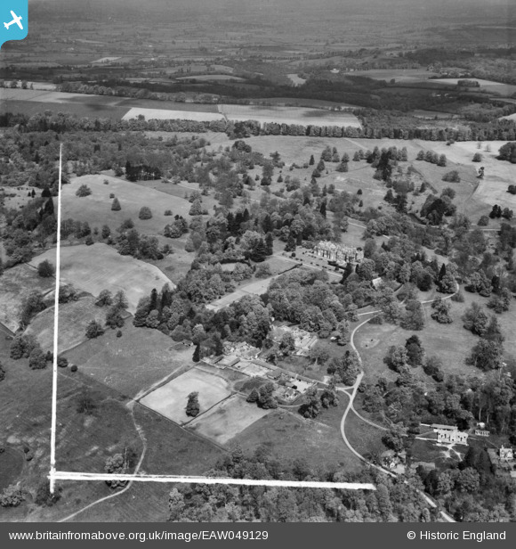
EAW049129 ENGLAND (1953). Spye Park House and Dairy Farm, Chittoe, from the south, 1953. This image was marked by Aerofilms Ltd for photo editing.
© Copyright OpenStreetMap contributors and licensed by the OpenStreetMap Foundation. 2026. Cartography is licensed as CC BY-SA.
Nearby Images (8)
EAW049129

EAW049130

EAW049128

EAW049133

EAW049136

EAW049139

EAW049137

EAW049141

Details
| Title | [EAW049129] Spye Park House and Dairy Farm, Chittoe, from the south, 1953. This image was marked by Aerofilms Ltd for photo editing. |
| Reference | EAW049129 |
| Date | 6-May-1953 |
| Link | |
| Place name | CHITTOE |
| Parish | BROMHAM |
| District | |
| Country | ENGLAND |
| Easting / Northing | 394932, 167050 |
| Longitude / Latitude | -2.0728633235928, 51.401962586012 |
| National Grid Reference | ST949671 |
Pins
Be the first to add a comment to this image!