
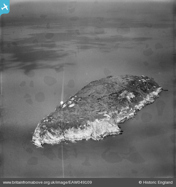
EAW049109 ENGLAND (1953). Steep Holm island, Steep Holm, 1953. This image has been produced from a damaged negative.
© Copyright OpenStreetMap contributors and licensed by the OpenStreetMap Foundation. 2026. Cartography is licensed as CC BY-SA.
Nearby Images (8)
EAW049109

EAW049748

EAW049749

EAW049105

EAW049107

EAW049108

EAW049750

EAW049106

Details
| Title | [EAW049109] Steep Holm island, Steep Holm, 1953. This image has been produced from a damaged negative. |
| Reference | EAW049109 |
| Date | 6-May-1953 |
| Link | |
| Place name | STEEP HOLM |
| Parish | WESTON-SUPER-MARE |
| District | |
| Country | ENGLAND |
| Easting / Northing | 322841, 160736 |
| Longitude / Latitude | -3.1078433056837, 51.339966833052 |
| National Grid Reference | ST228607 |
