
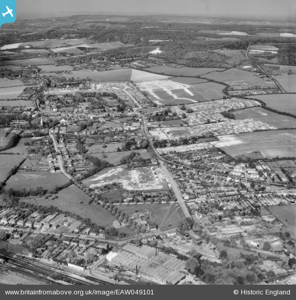
EAW049101 ENGLAND (1953). The town, Princes Risborough, from the south-west, 1953
© Copyright OpenStreetMap contributors and licensed by the OpenStreetMap Foundation. 2025. Cartography is licensed as CC BY-SA.
Nearby Images (3)
EAW049101

EPW036365

EPW036364

Details
| Title | [EAW049101] The town, Princes Risborough, from the south-west, 1953 |
| Reference | EAW049101 |
| Date | 5-May-1953 |
| Link | |
| Place name | PRINCES RISBOROUGH |
| Parish | PRINCES RISBOROUGH |
| District | |
| Country | ENGLAND |
| Easting / Northing | 480248, 202836 |
| Longitude / Latitude | -0.83821932809079, 51.718044483165 |
| National Grid Reference | SP802028 |
Pins

John W |
Tuesday 31st of January 2017 08:30:46 PM | |
|
John W |
Tuesday 31st of January 2017 08:28:29 PM | |
|
John W |
Tuesday 31st of January 2017 08:27:42 PM | |
|
John W |
Tuesday 31st of January 2017 08:26:42 PM |