
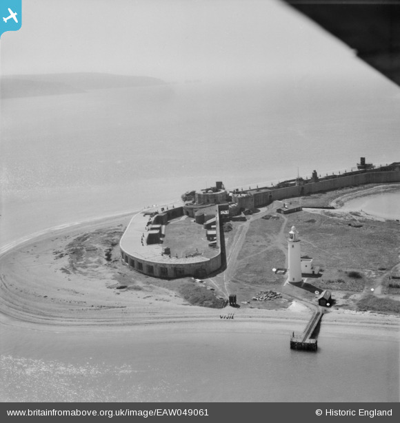
EAW049061 ENGLAND (1953). Hurst Castle and Higher Lighthouse, Keyhaven, from the north-east, 1953
© Copyright OpenStreetMap contributors and licensed by the OpenStreetMap Foundation. 2026. Cartography is licensed as CC BY-SA.
Nearby Images (5)
EAW049061

EAW050047

EAW038616
, Milford on Sea, 1951. This image has been produced from a damaged negative.")
EAW050048

EAW038617
 and The Solent, Milford on Sea, from the south-west, 1951. This image has been produced from a damaged negative.")
Details
| Title | [EAW049061] Hurst Castle and Higher Lighthouse, Keyhaven, from the north-east, 1953 |
| Reference | EAW049061 |
| Date | 4-May-1953 |
| Link | |
| Place name | KEYHAVEN |
| Parish | MILFORD-ON-SEA |
| District | |
| Country | ENGLAND |
| Easting / Northing | 431895, 89915 |
| Longitude / Latitude | -1.5482491241284, 50.707420164557 |
| National Grid Reference | SZ319899 |
Pins
Be the first to add a comment to this image!