
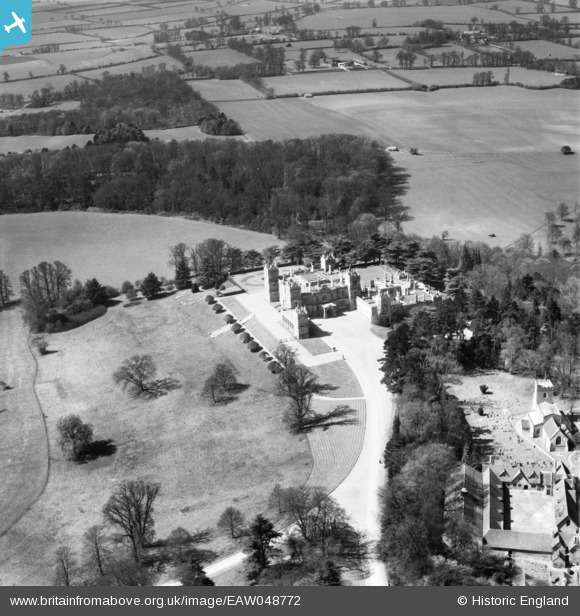
EAW048772 ENGLAND (1953). Mentmore Towers, Mentmore, 1953
© Copyright OpenStreetMap contributors and licensed by the OpenStreetMap Foundation. 2026. Cartography is licensed as CC BY-SA.
Nearby Images (7)
EAW048772

EPW022493

EAW048770

EPW022492

EAW048771

EPW022495

EPW022494

Details
| Title | [EAW048772] Mentmore Towers, Mentmore, 1953 |
| Reference | EAW048772 |
| Date | 22-April-1953 |
| Link | |
| Place name | MENTMORE |
| Parish | MENTMORE |
| District | |
| Country | ENGLAND |
| Easting / Northing | 490276, 219649 |
| Longitude / Latitude | -0.68870189168587, 51.867663675362 |
| National Grid Reference | SP903196 |
Pins
Be the first to add a comment to this image!