
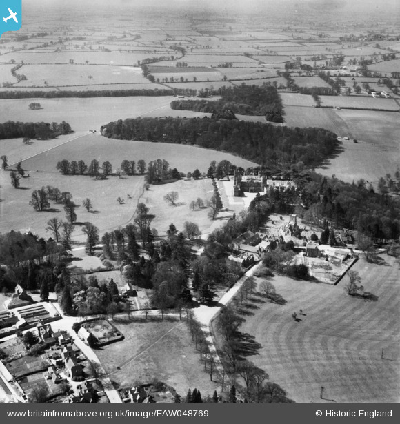
EAW048769 ENGLAND (1953). Mentmore Towers and the village, Mentmore, from the north-east, 1953
© Copyright OpenStreetMap contributors and licensed by the OpenStreetMap Foundation. 2026. Cartography is licensed as CC BY-SA.
Nearby Images (2)
EAW048769

EPW022494

Details
| Title | [EAW048769] Mentmore Towers and the village, Mentmore, from the north-east, 1953 |
| Reference | EAW048769 |
| Date | 22-April-1953 |
| Link | |
| Place name | MENTMORE |
| Parish | MENTMORE |
| District | |
| Country | ENGLAND |
| Easting / Northing | 490616, 219794 |
| Longitude / Latitude | -0.6837265924855, 51.86891202643 |
| National Grid Reference | SP906198 |
Pins
Be the first to add a comment to this image!