
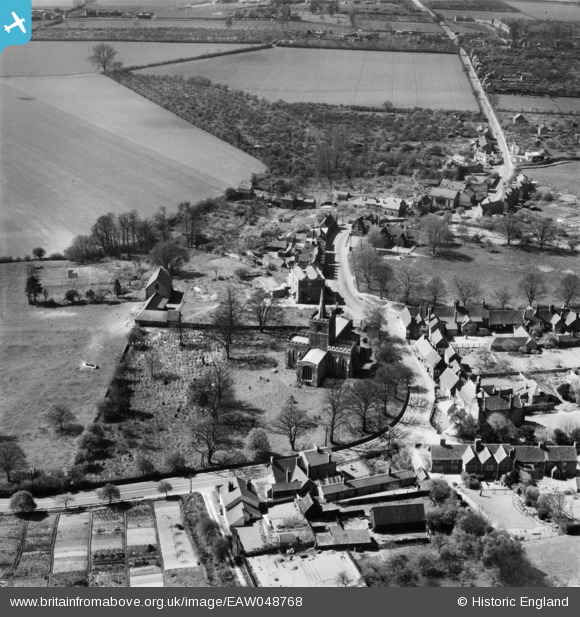
EAW048768 ENGLAND (1953). St Mary's Church and the village, Ivinghoe, 1953
© Copyright OpenStreetMap contributors and licensed by the OpenStreetMap Foundation. 2026. Cartography is licensed as CC BY-SA.
Nearby Images (3)
EAW048768

EAW048765

EAW048766

Details
| Title | [EAW048768] St Mary's Church and the village, Ivinghoe, 1953 |
| Reference | EAW048768 |
| Date | 22-April-1953 |
| Link | |
| Place name | IVINGHOE |
| Parish | IVINGHOE |
| District | |
| Country | ENGLAND |
| Easting / Northing | 494507, 216125 |
| Longitude / Latitude | -0.62822704043918, 51.835284206316 |
| National Grid Reference | SP945161 |
Pins
Be the first to add a comment to this image!