
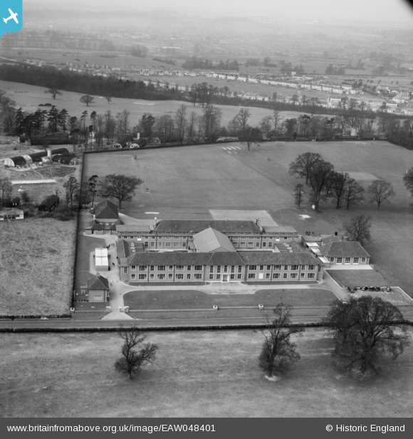
EAW048401 ENGLAND (1953). The Royal Caledonian Schools and environs, Bushey, 1953
© Copyright OpenStreetMap contributors and licensed by the OpenStreetMap Foundation. 2026. Cartography is licensed as CC BY-SA.
Nearby Images (9)
EAW048401

EAW048399

EPR000488

EAW048398

EPR000487

EAW048400

EAW048400
EAW048402

EAW048400A

Details
| Title | [EAW048401] The Royal Caledonian Schools and environs, Bushey, 1953 |
| Reference | EAW048401 |
| Date | 5-February-1953 |
| Link | |
| Place name | BUSHEY |
| Parish | |
| District | |
| Country | ENGLAND |
| Easting / Northing | 512987, 197033 |
| Longitude / Latitude | -0.36630150927988, 51.66024331758 |
| National Grid Reference | TQ130970 |
Pins

Matt Aldred edob.mattaldred.com |
Sunday 8th of November 2020 11:13:16 PM | |
|
Matt Aldred edob.mattaldred.com |
Wednesday 19th of August 2020 09:26:59 PM | |
|
Matt Aldred edob.mattaldred.com |
Wednesday 19th of August 2020 09:25:38 PM |