
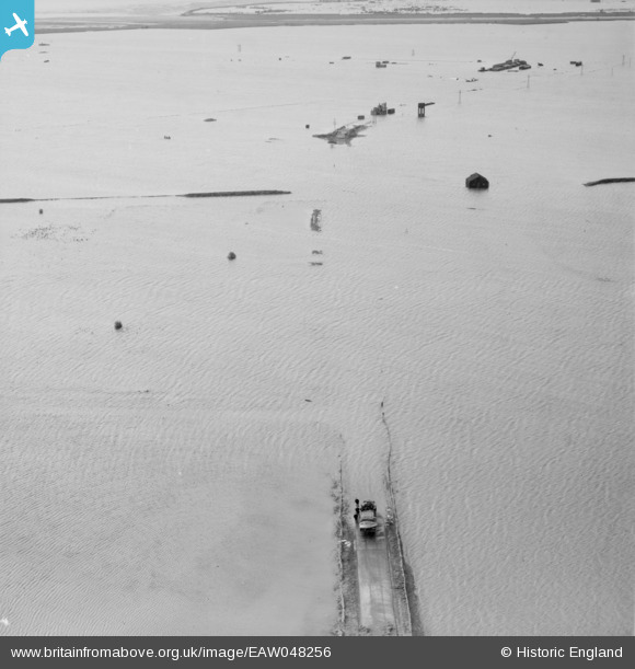
EAW048256 ENGLAND (1953). Extensive flooding to the east of Havengore Farm, Havengore Island, 1953
© Copyright OpenStreetMap contributors and licensed by the OpenStreetMap Foundation. 2025. Cartography is licensed as CC BY-SA.
Nearby Images (2)
EAW048256

EAW048262

Details
| Title | [EAW048256] Extensive flooding to the east of Havengore Farm, Havengore Island, 1953 |
| Reference | EAW048256 |
| Date | 2-February-1953 |
| Link | |
| Place name | HAVENGORE ISLAND |
| Parish | FOULNESS |
| District | |
| Country | ENGLAND |
| Easting / Northing | 598358, 189378 |
| Longitude / Latitude | 0.86245634016323, 51.567853873587 |
| National Grid Reference | TQ984894 |
Pins

Graham Yaxley |
Saturday 14th of February 2015 02:26:56 AM |