
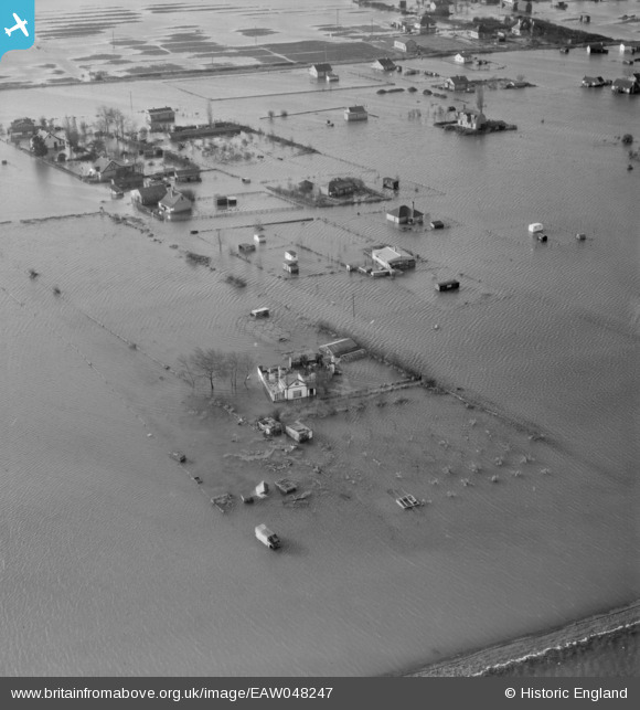
EAW048247 ENGLAND (1953). Flooding around Leige Avenue and Papenburg Road, Canvey Island, 1953
© Copyright OpenStreetMap contributors and licensed by the OpenStreetMap Foundation. 2025. Cartography is licensed as CC BY-SA.
Nearby Images (2)
EAW048247

EAW048243

Details
| Title | [EAW048247] Flooding around Leige Avenue and Papenburg Road, Canvey Island, 1953 |
| Reference | EAW048247 |
| Date | 2-February-1953 |
| Link | |
| Place name | CANVEY ISLAND |
| Parish | CANVEY ISLAND |
| District | |
| Country | ENGLAND |
| Easting / Northing | 579394, 184731 |
| Longitude / Latitude | 0.58673760442101, 51.532461805911 |
| National Grid Reference | TQ794847 |
Pins
Be the first to add a comment to this image!