
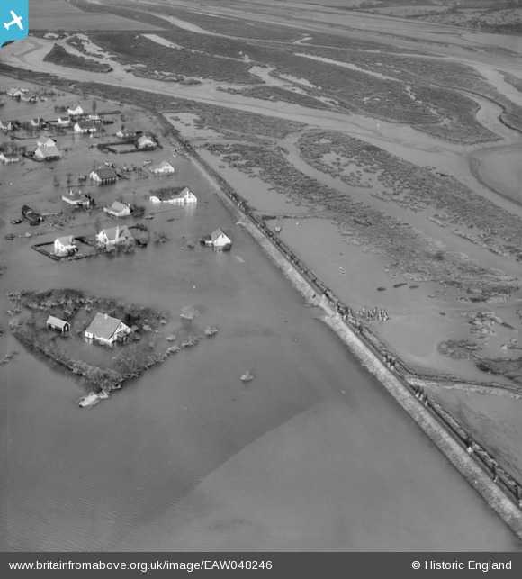
EAW048246 ENGLAND (1953). Flooding at Sunken Marsh around Hoppet Cottage, Canvey Island, 1953
© Copyright OpenStreetMap contributors and licensed by the OpenStreetMap Foundation. 2026. Cartography is licensed as CC BY-SA.
Nearby Images (6)
EAW048246

EAW048249

EAW048242

EAW048239

EAW048241

EAW048250

Details
| Title | [EAW048246] Flooding at Sunken Marsh around Hoppet Cottage, Canvey Island, 1953 |
| Reference | EAW048246 |
| Date | 2-February-1953 |
| Link | |
| Place name | CANVEY ISLAND |
| Parish | CANVEY ISLAND |
| District | |
| Country | ENGLAND |
| Easting / Northing | 580952, 184242 |
| Longitude / Latitude | 0.60892667172597, 51.527571838828 |
| National Grid Reference | TQ810842 |
Pins
Be the first to add a comment to this image!