
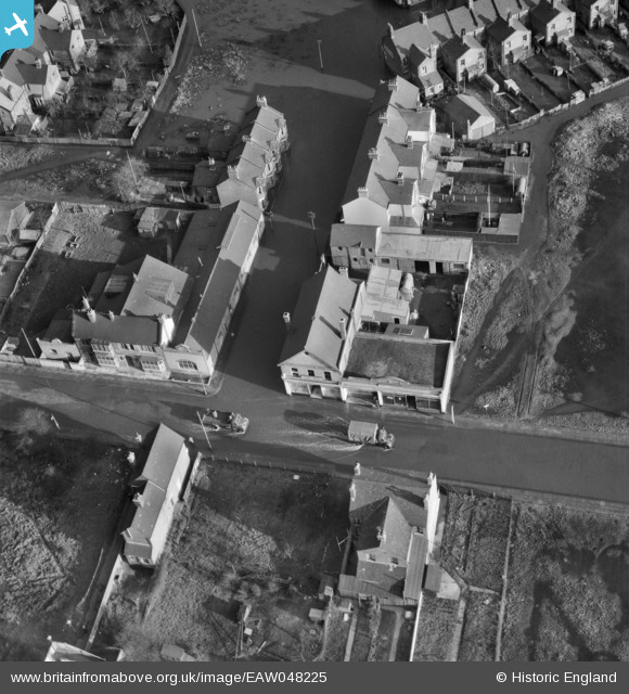
EAW048225 ENGLAND (1953). Flooding around Grays Cooperative Society on Dock Road, Tilbury, 1953
© Copyright OpenStreetMap contributors and licensed by the OpenStreetMap Foundation. 2026. Cartography is licensed as CC BY-SA.
Nearby Images (2)
EAW048225

EAW002339

Details
| Title | [EAW048225] Flooding around Grays Cooperative Society on Dock Road, Tilbury, 1953 |
| Reference | EAW048225 |
| Date | 2-February-1953 |
| Link | |
| Place name | TILBURY |
| Parish | |
| District | |
| Country | ENGLAND |
| Easting / Northing | 564061, 176079 |
| Longitude / Latitude | 0.36183503497854, 51.459389388401 |
| National Grid Reference | TQ641761 |
Pins
 |

Billy Turner |
Friday 12th of February 2016 04:18:47 PM |
 |
Billy Turner |
Friday 12th of February 2016 02:38:51 PM |