
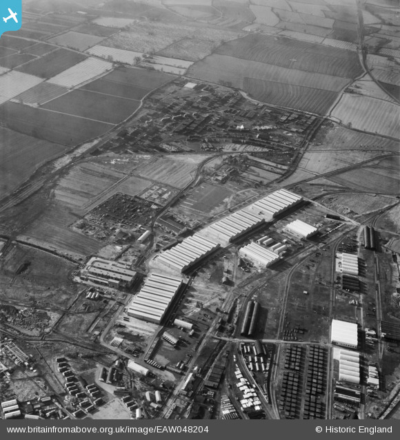
EAW048204 ENGLAND (1953). The Long Marston Supply Depot (Central Engineer Park), Long Marston, 1953
© Copyright OpenStreetMap contributors and licensed by the OpenStreetMap Foundation. 2026. Cartography is licensed as CC BY-SA.
Nearby Images (29)
EAW048204
, Long Marston, 1953")
EAW048197
, Long Marston, 1953")
EAW039983
 under construction, Long Marston, 1951")
EAW048193
, Long Marston, from the south-west, 1953")
EAW039982
 under construction, Long Marston, 1951")
EAW042127
 under construction, Long Marston, 1952")
EAW048201
, Long Marston, 1953")
EAW039978
 under construction, Long Marston, 1951")
EAW048195
, Long Marston, 1953")
EAW048196
, Long Marston, 1953")
EAW039980
 under construction, Long Marston, 1951")
EAW042119
 under construction, Long Marston, 1952")
EAW042122
 under construction, Long Marston, 1952")
EAW048200
, Long Marston, 1953")
EAW039979
 under construction, Long Marston, 1951")
EAW039981
 under construction, Long Marston, 1951")
EAW042124
 under construction, Long Marston, 1952")
EAW039972
 under construction, Long Marston, 1951")
EAW048202
, Long Marston, 1953")
EAW042123
 under construction, Long Marston, 1952")
EAW048191
, Long Marston, 1953")
EAW039977
 under construction, Long Marston, 1951")
EAW039974
 under construction, Long Marston, 1951")
EAW042120
 under construction, Long Marston, 1952")
EAW039976
 under construction, Long Marston, 1951")
EAW042121
 under construction, Long Marston, 1952")
EAW042126
 under construction, Long Marston, 1952")
EAW042128
 under construction, Long Marston, 1952")
EAW042125
 under construction, Long Marston, 1952")
Details
| Title | [EAW048204] The Long Marston Supply Depot (Central Engineer Park), Long Marston, 1953 |
| Reference | EAW048204 |
| Date | 29-January-1953 |
| Link | |
| Place name | LONG MARSTON |
| Parish | LONG MARSTON |
| District | |
| Country | ENGLAND |
| Easting / Northing | 416009, 246442 |
| Longitude / Latitude | -1.76617884725, 52.115655006446 |
| National Grid Reference | SP160464 |
Pins
Be the first to add a comment to this image!