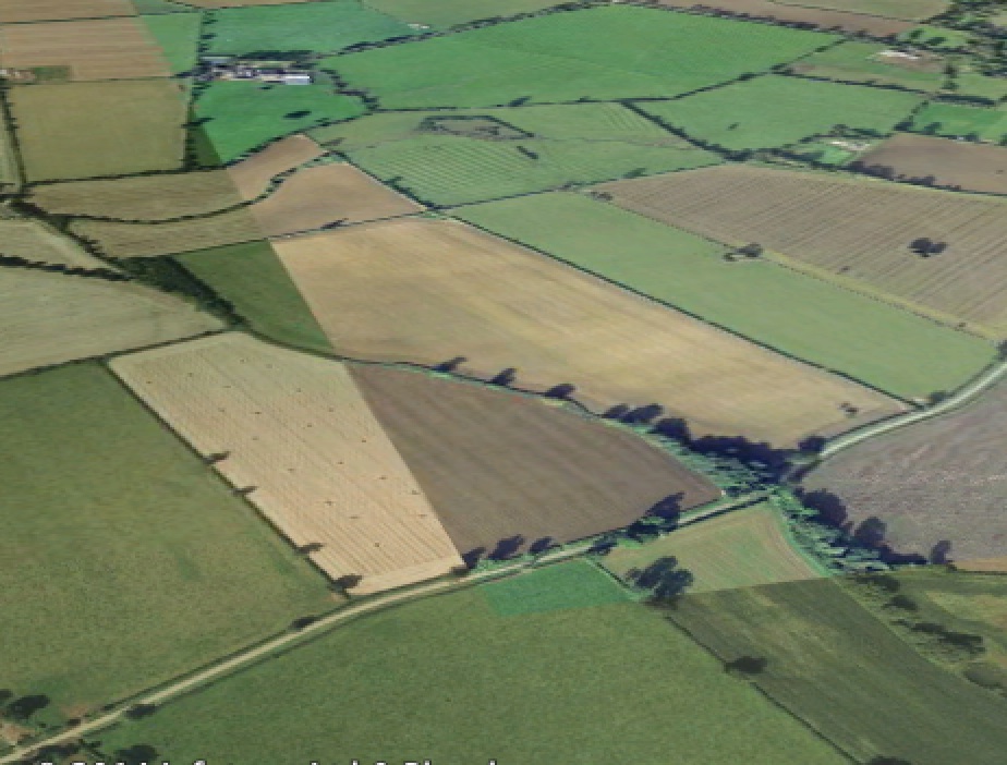
EAW048165 ENGLAND (1953). Cloudscape, Priors Marston, 1953
© Copyright OpenStreetMap contributors and licensed by the OpenStreetMap Foundation. 2025. Cartography is licensed as CC BY-SA.
Details
| Title | [EAW048165] Cloudscape, Priors Marston, 1953 |
| Reference | EAW048165 |
| Date | 18-January-1953 |
| Link | |
| Place name | PRIORS MARSTON |
| Parish | PRIORS MARSTON |
| District | |
| Country | ENGLAND |
| Easting / Northing | 449241, 255997 |
| Longitude / Latitude | -1.2794468984102, 52.199600753716 |
| National Grid Reference | SP492560 |
Pins
User Comment Contributions
 Field SSE of Priors Marston |
 TomRobin |
Monday 11th of August 2014 11:55:16 AM |
Hi TomRobin, Thanks for your suggested location. You may like to know that the original Aerofilms Ltd Register entry for this image reads "Fog between Leamington and Rugby". We’ll update the catalogue and post the new data here in due course. Yours, Katy Britain from Above Cataloguing Team Leader |
Katy Whitaker |
Monday 11th of August 2014 11:55:16 AM |
See also See also EAW048172 |
 TomRobin |
Tuesday 1st of July 2014 03:55:59 PM |


![[EAW048165] Cloudscape, Priors Marston, 1953](http://britainfromabove.org.uk/sites/all/libraries/aerofilms-images/public/100x100/EAW/048/EAW048165.jpg)
![[EAW048172] Cloudscape, Priors Marston, 1953](http://britainfromabove.org.uk/sites/all/libraries/aerofilms-images/public/100x100/EAW/048/EAW048172.jpg)
![[EAW048173] Cloudscape, Priors Marston, from the south, 1953](http://britainfromabove.org.uk/sites/all/libraries/aerofilms-images/public/100x100/EAW/048/EAW048173.jpg)