
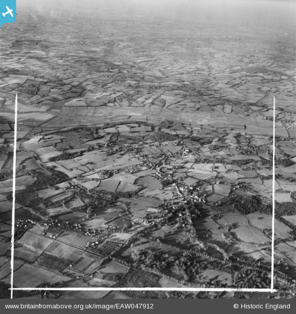
EAW047912 ENGLAND (1952). The village, Northiam, from the south-east, 1952. This image was marked by Aerofilms Ltd for photo editing.
© Copyright OpenStreetMap contributors and licensed by the OpenStreetMap Foundation. 2026. Cartography is licensed as CC BY-SA.
Nearby Images (3)
EAW047912

EAW047910

EAW047909

Details
| Title | [EAW047912] The village, Northiam, from the south-east, 1952. This image was marked by Aerofilms Ltd for photo editing. |
| Reference | EAW047912 |
| Date | 24-November-1952 |
| Link | |
| Place name | NORTHIAM |
| Parish | NORTHIAM |
| District | |
| Country | ENGLAND |
| Easting / Northing | 582916, 123607 |
| Longitude / Latitude | 0.60621007188893, 50.982226783551 |
| National Grid Reference | TQ829236 |
Pins
Be the first to add a comment to this image!