
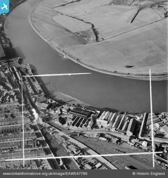
EAW047786 ENGLAND (1952). The Manure and Alkali Works, Blaydon, 1952. This image was marked by Aerofilms Ltd for photo editing.
© Copyright OpenStreetMap contributors and licensed by the OpenStreetMap Foundation. 2026. Cartography is licensed as CC BY-SA.
Nearby Images (16)
EAW047786

EAW047784

EAW047790

EAW047788

EAW047789

EAW047785

EAW047787

EAW047792

EAW047791

EPW059790

EPW059793

EPW059797

EPW059791

EPW059794

EPW059795

EPW059792

Details
| Title | [EAW047786] The Manure and Alkali Works, Blaydon, 1952. This image was marked by Aerofilms Ltd for photo editing. |
| Reference | EAW047786 |
| Date | 3-November-1952 |
| Link | |
| Place name | BLAYDON |
| Parish | |
| District | |
| Country | ENGLAND |
| Easting / Northing | 418671, 563654 |
| Longitude / Latitude | -1.7083321819273, 54.967083975992 |
| National Grid Reference | NZ187637 |
Pins
Be the first to add a comment to this image!