
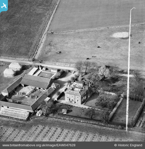
EAW047628 ENGLAND (1952). The Grange and Grange Farm on Cox's Drove, Great Postland, 1952. This image was marked by Aerofilms Ltd for photo editing.
© Copyright OpenStreetMap contributors and licensed by the OpenStreetMap Foundation. 2026. Cartography is licensed as CC BY-SA.
Nearby Images (5)
EAW047628

EAW047630

EAW047627

EAW047631

EAW047629

Details
| Title | [EAW047628] The Grange and Grange Farm on Cox's Drove, Great Postland, 1952. This image was marked by Aerofilms Ltd for photo editing. |
| Reference | EAW047628 |
| Date | 23-October-1952 |
| Link | |
| Place name | GREAT POSTLAND |
| Parish | CROWLAND |
| District | |
| Country | ENGLAND |
| Easting / Northing | 527442, 310501 |
| Longitude / Latitude | -0.11478068097231, 52.676856679571 |
| National Grid Reference | TF274105 |
Pins
Be the first to add a comment to this image!