EAW047592 ENGLAND (1952). East Croydon Railway Station and environs, Croydon, 1952
© Copyright OpenStreetMap contributors and licensed by the OpenStreetMap Foundation. 2026. Cartography is licensed as CC BY-SA.
Details
| Title | [EAW047592] East Croydon Railway Station and environs, Croydon, 1952 |
| Reference | EAW047592 |
| Date | 23-October-1952 |
| Link | |
| Place name | CROYDON |
| Parish | |
| District | |
| Country | ENGLAND |
| Easting / Northing | 532759, 165859 |
| Longitude / Latitude | -0.092318931499518, 51.375744958273 |
| National Grid Reference | TQ328659 |
Pins

toby starr |
Friday 19th of March 2021 11:18:27 AM | |

Paul Wendon |
Wednesday 17th of February 2021 11:30:10 AM | |

Paul Wendon |
Wednesday 17th of February 2021 10:47:08 AM | |

Paul Wendon |
Wednesday 17th of February 2021 10:43:42 AM | |

Paul Wendon |
Wednesday 17th of February 2021 10:42:56 AM | |

Paul Wendon |
Wednesday 17th of February 2021 10:40:31 AM | |

Paul Wendon |
Wednesday 17th of February 2021 10:39:58 AM | |

Paul Wendon |
Wednesday 17th of February 2021 10:39:41 AM | |

Peter C |
Wednesday 5th of October 2016 04:58:13 PM | |

john bagley |
Wednesday 3rd of August 2016 12:56:12 PM | |

john bagley |
Wednesday 3rd of August 2016 12:52:23 PM | |

Class31 |
Thursday 5th of June 2014 01:04:07 PM |
User Comment Contributions

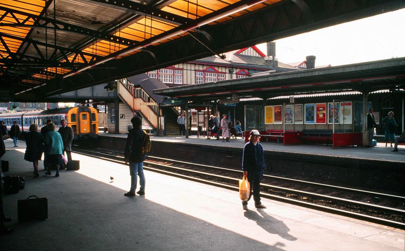
East Croydon Railway Station 1990 |

Alan McFaden |
Friday 19th of December 2014 10:19:57 AM |


![[EAW047592] East Croydon Railway Station and environs, Croydon, 1952](http://britainfromabove.org.uk/sites/all/libraries/aerofilms-images/public/100x100/EAW/047/EAW047592.jpg)
![[EAW047594] East Croydon Railway Station and environs, Croydon, 1952](http://britainfromabove.org.uk/sites/all/libraries/aerofilms-images/public/100x100/EAW/047/EAW047594.jpg)
![[EPW060328] The Creed and Co Telegraph Works (Telegraph House), Croydon, 1939. This image was modified by the Aerofilms Ltd Artists' Department and has been produced from a copy-negative.](http://britainfromabove.org.uk/sites/all/libraries/aerofilms-images/public/100x100/EPW/060/EPW060328.jpg)