
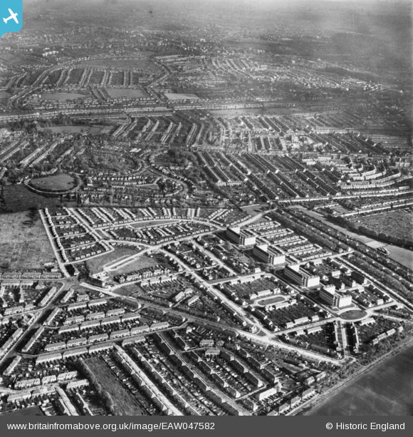
EAW047582 ENGLAND (1952). Pollards Hill, Mitcham, from the south-west, 1952
© Copyright OpenStreetMap contributors and licensed by the OpenStreetMap Foundation. 2026. Cartography is licensed as CC BY-SA.
Nearby Images (4)
EAW047582

EAW047581

EAW047580

EAW047579

Details
| Title | [EAW047582] Pollards Hill, Mitcham, from the south-west, 1952 |
| Reference | EAW047582 |
| Date | 23-October-1952 |
| Link | |
| Place name | MITCHAM |
| Parish | |
| District | |
| Country | ENGLAND |
| Easting / Northing | 529947, 168140 |
| Longitude / Latitude | -0.13186779971461, 51.39689706117 |
| National Grid Reference | TQ299681 |
