
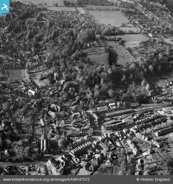
EAW047572 ENGLAND (1952). The town centre, Caterham, 1952
© Copyright OpenStreetMap contributors and licensed by the OpenStreetMap Foundation. 2026. Cartography is licensed as CC BY-SA.
Nearby Images (4)
EAW047572

EAW047574

EAW022692

EPW051529

Details
| Title | [EAW047572] The town centre, Caterham, 1952 |
| Reference | EAW047572 |
| Date | 23-October-1952 |
| Link | |
| Place name | CATERHAM |
| Parish | CATERHAM VALLEY |
| District | |
| Country | ENGLAND |
| Easting / Northing | 533982, 155375 |
| Longitude / Latitude | -0.078698813029034, 51.281230566077 |
| National Grid Reference | TQ340554 |
Pins

williamayerst |
Monday 11th of November 2019 08:48:16 PM | |
|
John W |
Sunday 17th of July 2016 04:32:02 PM | |
|
John W |
Sunday 17th of July 2016 04:30:02 PM | |
|
John W |
Sunday 17th of July 2016 04:26:40 PM | |
|
John W |
Sunday 17th of July 2016 04:25:25 PM |