
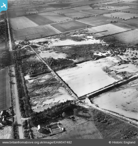
EAW047482 ENGLAND (1952). Quarry, sand and gravel pits off Wroot Road, Blaxton, 1952
© Copyright OpenStreetMap contributors and licensed by the OpenStreetMap Foundation. 2025. Cartography is licensed as CC BY-SA.
Nearby Images (15)
EAW047482

EAW043529

EAW047478

EAW047477

EAW043527

EAW047479

EAW049685

EAW043530

EAW043531

EAW047476

EAW047480

EAW049675

EAW043528

EAW047485

EAW049678

Details
| Title | [EAW047482] Quarry, sand and gravel pits off Wroot Road, Blaxton, 1952 |
| Reference | EAW047482 |
| Date | 10-October-1952 |
| Link | |
| Place name | BLAXTON |
| Parish | FINNINGLEY |
| District | |
| Country | ENGLAND |
| Easting / Northing | 468892, 401047 |
| Longitude / Latitude | -0.96126450671344, 53.501350980684 |
| National Grid Reference | SE689010 |
Pins
Be the first to add a comment to this image!