
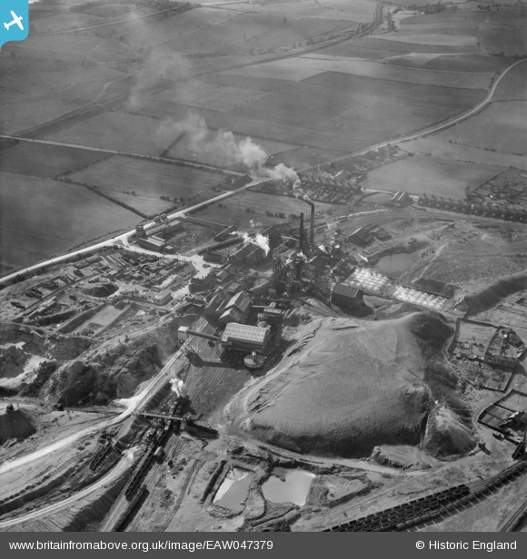
EAW047379 ENGLAND (1952). New Sharlston Colliery, New Sharlston, 1952
© Copyright OpenStreetMap contributors and licensed by the OpenStreetMap Foundation. 2026. Cartography is licensed as CC BY-SA.
Nearby Images (10)
EAW047379

EAW047380

EAW047377

EAW047374

EAW047371

EAW047373

EAW047375

EAW047376

EAW047372

EAW047378

Details
| Title | [EAW047379] New Sharlston Colliery, New Sharlston, 1952 |
| Reference | EAW047379 |
| Date | 10-October-1952 |
| Link | |
| Place name | NEW SHARLSTON |
| Parish | SHARLSTON |
| District | |
| Country | ENGLAND |
| Easting / Northing | 438376, 420172 |
| Longitude / Latitude | -1.4189872964898, 53.67637550658 |
| National Grid Reference | SE384202 |
Pins

drj |
Monday 26th of April 2021 12:18:20 PM | |

sirdouglas |
Tuesday 24th of March 2015 09:19:15 PM |