
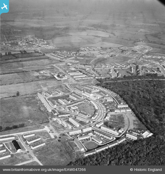
EAW047266 ENGLAND (1952). The residential area at Monks Wood, Bedwell, from the south, 1952
© Copyright OpenStreetMap contributors and licensed by the OpenStreetMap Foundation. 2026. Cartography is licensed as CC BY-SA.
Nearby Images (9)
EAW047266

EAW047267

EAW047271

EAW047268

EAW047270

EAW047272

EAW047274

EAW047273

EAW047269

Details
| Title | [EAW047266] The residential area at Monks Wood, Bedwell, from the south, 1952 |
| Reference | EAW047266 |
| Date | 15-October-1952 |
| Link | |
| Place name | BEDWELL |
| Parish | |
| District | |
| Country | ENGLAND |
| Easting / Northing | 524391, 223483 |
| Longitude / Latitude | -0.1920141748836, 51.895557298298 |
| National Grid Reference | TL244235 |
Pins

Howie |
Sunday 15th of February 2015 06:45:43 AM | |
|
Howie |
Sunday 15th of February 2015 06:43:38 AM | |
|
Howie |
Sunday 15th of February 2015 06:41:58 AM | |
|
Howie |
Sunday 15th of February 2015 06:39:24 AM | |
|
Howie |
Sunday 15th of February 2015 06:35:43 AM |