
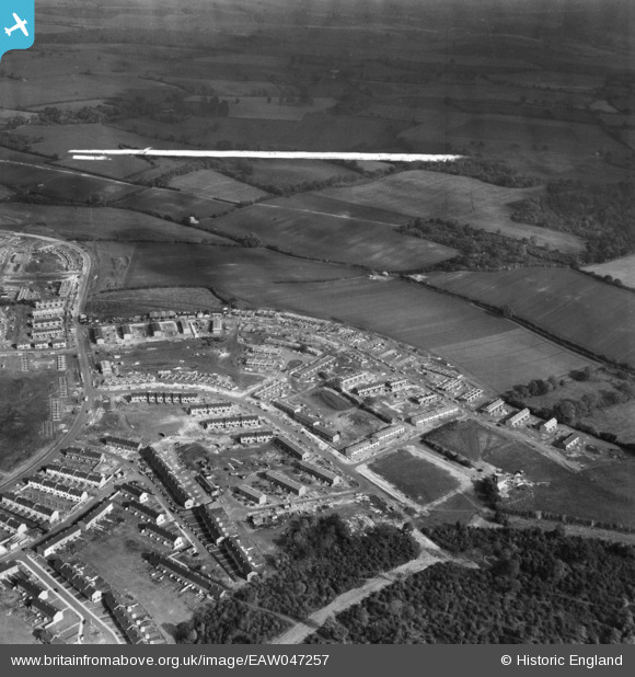
EAW047257 ENGLAND (1952). The residential area at Bedwell East under construction, Bedwell, from the south-west, 1952. This image was marked by Aerofilms Ltd for photo editing.
© Copyright OpenStreetMap contributors and licensed by the OpenStreetMap Foundation. 2026. Cartography is licensed as CC BY-SA.
Nearby Images (7)
EAW047257

EAW047259

EAW047258

EAW047256

EAW047255

EAW047254

EAW047253

Details
| Title | [EAW047257] The residential area at Bedwell East under construction, Bedwell, from the south-west, 1952. This image was marked by Aerofilms Ltd for photo editing. |
| Reference | EAW047257 |
| Date | 15-October-1952 |
| Link | |
| Place name | BEDWELL |
| Parish | |
| District | |
| Country | ENGLAND |
| Easting / Northing | 524926, 223975 |
| Longitude / Latitude | -0.18406400581809, 51.899859400087 |
| National Grid Reference | TL249240 |
Pins
Be the first to add a comment to this image!