
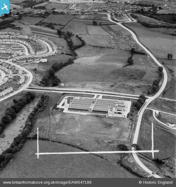
EAW047186 ENGLAND (1952). The Bush Radio Ltd Works at Ernesettle, Plymouth, 1952. This image was marked by Aerofilms Ltd for photo editing.
© Copyright OpenStreetMap contributors and licensed by the OpenStreetMap Foundation. 2026. Cartography is licensed as CC BY-SA.
Nearby Images (15)
EAW047186

EAW047184

EAW049546

EAW047187

EAW047188

EAW049545

EAW047189

EAW049549

EAW049541

EAW049548
 Ernesettle, Plymouth, 1953. This image was marked by Aerofilms Ltd for photo editing.")
EAW047185

EAW049544

EAW049542

EAW049547

EAW049543

Details
| Title | [EAW047186] The Bush Radio Ltd Works at Ernesettle, Plymouth, 1952. This image was marked by Aerofilms Ltd for photo editing. |
| Reference | EAW047186 |
| Date | 7-October-1952 |
| Link | |
| Place name | PLYMOUTH |
| Parish | |
| District | |
| Country | ENGLAND |
| Easting / Northing | 244830, 59990 |
| Longitude / Latitude | -4.1844838306707, 50.418642251434 |
| National Grid Reference | SX448600 |
Pins

totoro |
Friday 8th of August 2014 08:05:53 PM | |
|
totoro |
Friday 8th of August 2014 07:57:49 PM | |
|
totoro |
Friday 8th of August 2014 07:55:51 PM | |
|
totoro |
Friday 8th of August 2014 07:33:55 PM | |
|
totoro |
Friday 8th of August 2014 07:33:36 PM | |
|
totoro |
Friday 8th of August 2014 07:26:45 PM |