
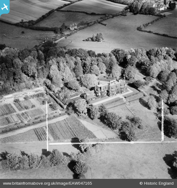
EAW047165 ENGLAND (1952). Hele Manor, Brushford, 1952. This image was marked by Aerofilms Ltd for photo editing.
© Copyright OpenStreetMap contributors and licensed by the OpenStreetMap Foundation. 2025. Cartography is licensed as CC BY-SA.
Nearby Images (7)
EAW047165

EAW047167

EAW047161

EAW047162

EAW047164

EAW047166

EAW047163

Details
| Title | [EAW047165] Hele Manor, Brushford, 1952. This image was marked by Aerofilms Ltd for photo editing. |
| Reference | EAW047165 |
| Date | 7-October-1952 |
| Link | |
| Place name | BRUSHFORD |
| Parish | BRUSHFORD |
| District | |
| Country | ENGLAND |
| Easting / Northing | 292405, 124330 |
| Longitude / Latitude | -3.533796522718, 51.007738781408 |
| National Grid Reference | SS924243 |
Pins
Be the first to add a comment to this image!