
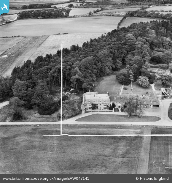
EAW047141 ENGLAND (1952). Rempstone Hall, Corfe Castle, 1952. This image was marked by Aerofilms Ltd for photo editing.
© Copyright OpenStreetMap contributors and licensed by the OpenStreetMap Foundation. 2025. Cartography is licensed as CC BY-SA.
Nearby Images (5)
EAW047141

EAW047142

EAW047143

EAW047144

EAW047145

Details
| Title | [EAW047141] Rempstone Hall, Corfe Castle, 1952. This image was marked by Aerofilms Ltd for photo editing. |
| Reference | EAW047141 |
| Date | 7-October-1952 |
| Link | |
| Place name | CORFE CASTLE |
| Parish | CORFE CASTLE |
| District | |
| Country | ENGLAND |
| Easting / Northing | 399057, 82347 |
| Longitude / Latitude | -2.0133372784774, 50.640229681267 |
| National Grid Reference | SY991823 |
Pins
Be the first to add a comment to this image!