
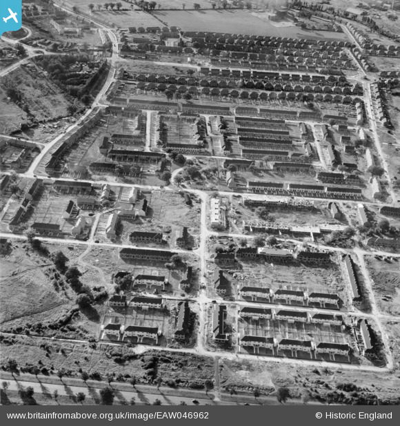
EAW046962 ENGLAND (1952). Howard Drive and environs, Borehamwood, 1952
© Copyright OpenStreetMap contributors and licensed by the OpenStreetMap Foundation. 2026. Cartography is licensed as CC BY-SA.
Nearby Images (8)
EAW046962

EAW046964

EAW044303

EAW046963

EAW046961

EAW046960

EAW044298

EPW057942
 and eastern Borehamwood under construction and the Barnet Grass Speedway, Borehamwood, from the south, 1938")
Details
| Title | [EAW046962] Howard Drive and environs, Borehamwood, 1952 |
| Reference | EAW046962 |
| Date | 22-September-1952 |
| Link | |
| Place name | BOREHAMWOOD |
| Parish | ELSTREE AND BOREHAMWOOD |
| District | |
| Country | ENGLAND |
| Easting / Northing | 520858, 196243 |
| Longitude / Latitude | -0.2528216634963, 51.651504969272 |
| National Grid Reference | TQ209962 |
Pins
Be the first to add a comment to this image!