
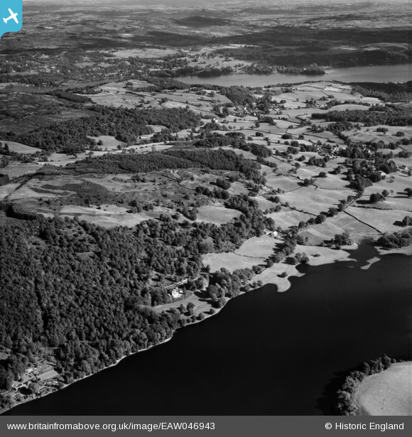
EAW046943 ENGLAND (1952). Lake Bank, Oatmeal Crag and the surrounding countryside, Near Sawrey, 1952
© Copyright OpenStreetMap contributors and licensed by the OpenStreetMap Foundation. 2025. Cartography is licensed as CC BY-SA.
Nearby Images (3)
EAW046943

EAW046942

EAW046936

Details
| Title | [EAW046943] Lake Bank, Oatmeal Crag and the surrounding countryside, Near Sawrey, 1952 |
| Reference | EAW046943 |
| Date | 13-September-1952 |
| Link | |
| Place name | NEAR SAWREY |
| Parish | CLAIFE |
| District | |
| Country | ENGLAND |
| Easting / Northing | 336662, 496355 |
| Longitude / Latitude | -2.9747673351253, 54.358633650462 |
| National Grid Reference | SD367964 |
Pins
Be the first to add a comment to this image!